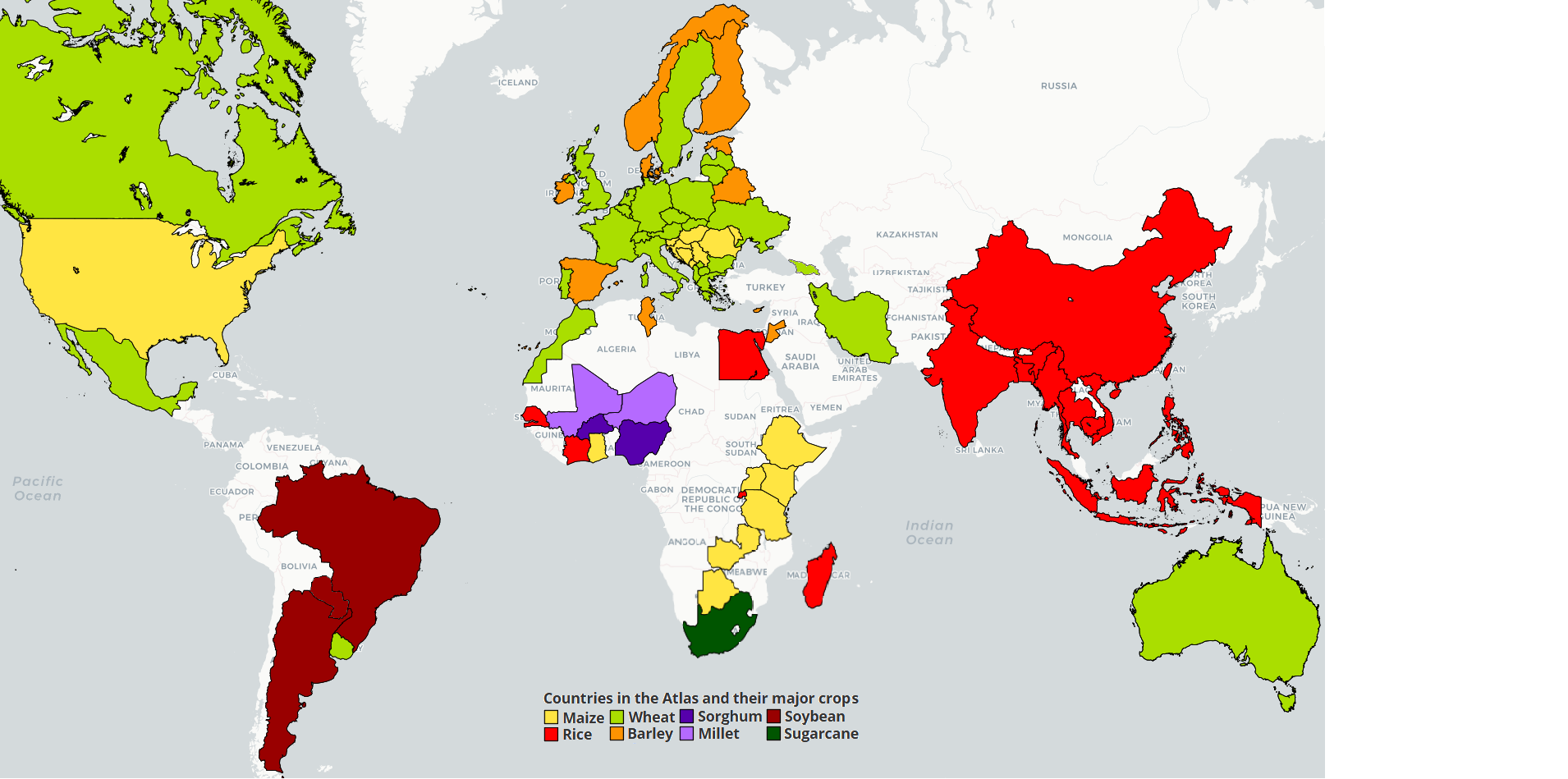
 Zambia
Detailed information on the analysis by crop is available for:
- Maize. Please check the sub-Saharan Africa maize page
- Rice. Please check the sub-Saharan Africa rice page
- Millet. Please check the sub-Saharan Africa millet page
Description of cropping systems, climate, and soils in Zambia (by dr. R. Chikowo)
Agriculture in general
The agricultural sector in Zambia supports livelihoods of 85% of the population. Maize is the principal cash crop (>65% of cropped land) as well as the main staple crop. Per capita consumption of maize is estimated at 105 kilograms annually, most of which is ground into meal and consumed as stiff porridge, or fermented for beer, with by-products used as livestock feed. Other important crops include soybean, cotton, sugarcane, sunflower, wheat, sorghum, pearl millet, cassava, tobacco and various vegetable and fruit crops. Unlike elsewhere in sub-Saharan Africa, agriculture is relatively unimportant in Zambia's economy compared to mining (primarily copper). It contributes less than 20% of Gross Domestic Product. But Zambia has potential for significant increases in agricultural output; currently, less than 30% of potentially arable land is cultivated. In the past, the agriculture sector suffered from low product prices, difficulties in availability and distribution of credit and inputs, and shortage of foreign exchange.
There are three major categories of farmers in Zambia, defined in terms of the land area cultivated by each farmer. Small-scale farmers, who are the vast majority, cultivate less than five ha, use few external inputs, and consume most of their produce, occasionally entering the market to sell any surplus. The hand hoe is the predominant means of cultivation. Medium-scale farmers cultivate between 5 to 20 ha. They use improved seeds and fertilizers and sell most of their production. These farmers commonly use a combination of manual, animal draft power and tractors. Large-scale commercial farmers plant over twenty ha annually. These farmers apply high levels of purchased inputs and use oxen or machinery for farm operations. They produce almost exclusively for direct market sale or feed their grain to livestock kept on the farm. Large-scale farmers make up only 4% of farm households, but cultivate 22 per cent of all cropped land.
Production and yield
Crop yields depend on the production circumstances, with higher yields on commercial farms and low yields on small-scale farms. Annual maize production in Zambia was on average 1.1 Mt in the period 2000 to 2010, and average yields of about 1.5 t/ha that have not significantly changed over the past 20 years. Cultivated maize area has been on average 700,000 ha between 1987 and 2007, with largest area of 900,000 ha in 2008. The yield gap between actual yields and potential yields remains wide. Zambia produced an annual average of about 24,000 metric tons of sorghum and 42,000 metric tons of millet between 1987 and 2008. Sorghum and millet national average yields are very low, about 0.55 and 0.65 t/ha, respectively.
Agro-ecological zones and soils
Zambia is divided into three major agro-ecological regions (Regions I , II and III), which are primarily based on rainfall amount but also incorporate soils and other climatic characteristics.
Semi-arid Region I includes areas of southern, eastern and western Zambia: Zambia's valleys at 300-800 m altitude mostly lie in Region 1. Mean annual rainfall in Region I ranges from 600 to 800 mm. The growing season is relatively short (80-120 days) and risky for crop production, as poorly distributed rains result in crops enduring frequent dry spells. Region I contains a variety of soil types, ranging from slightly acidic loamy and clayey soils with loam topsoil, to acidic sandy soils. Characteristics of these soils which have significant constraints for crop production, include: erosion, limited soil depth in hilly and escarpment areas, poor physical properties that make it difficult to till especially on cracking clay soils, crusting, and low water holding capacities in sandy soils.
Region II includes much of central Zambia, with most of Central, Southern, Eastern and Lusaka provinces. It contains the most fertile soils and most of the country's commercial farms. Annual rainfall in Region II averages 800-1000 mm, and the growing season is 100-140 days long. Distribution of rainfall is not as erratic as in Region I, but dry spells are common and reduce crop yields, especially on the sandier soils. Average mean daily temperatures range from 23- 26°C in the hottest month October to 16-20°C in the coldest months of June and July. The most common soils in Region II are red to brown clayey to loamy soil types that are moderately to strongly leached. Physical characteristics of the soils that affect crop production, include low water holding capacity, shallow rooting depth, and top soils prone to rapid deterioration and erosion. These soils also have low nutrient reserves and retention capacity, are acid, have low organic matter and nitrogen content, and are phosphorus-deficient.
Region III, the high-rainfall area, lies in a band across northern Zambia, including the Northern Luapula Copper belt, Northwestern provinces and some parts of the Central province. This region receives over 1000 mm of precipitation each year, and the growing season ranges from 120-150 days. Soils in Region III are highly weathered and leached, and characterized by extreme acidity. Consequently, the soils have few nutrients available for plant growth, and are high in exchangeable aluminum and manganese, both of which are toxic to most crops unless soils are limed to increase pH
Major cropping systems
Region I has predominantly small-scale farmers in the major valley systems. In the Luangwa Valley, sorghum, finger millet and maize are the major starchy food crops, while groundnuts, cowpeas and pumpkins are also grown. Farmers use hand hoes for cultivation. Goats and chickens are commonly kept by farm households, and some farmers have a few cattle. Other areas of the region mainly produce bulrush millet, sorghum, and cassava.
Zambia's large commercial farmers are concentrated in Region II. Their farming systems are mechanized and highly diverse, cultivating maize, soybeans, wheat, cotton, tobacco, coffee, vegetables, and flowers, and breeding livestock. Besides these large-scale systems, there are also small- and medium-scale farmers in the region. Maize is the main staple crop in these systems in Central and Eastern provinces. Beans, groundnuts, pumpkins, and cassava leaves are grown to diversify diets. Other crops include cotton, sorghum, soybeans and sunflower. Cattle, chickens, goats, pigs and sheep are common. Farmers also grow tobacco. Cattle are important for traction, meat, milk and manure. The major constraints to increase crop production in Region II are the lack of low-cost biocides to control pests and diseases, soil degradation, and the depletion of soil fertility.
Small-scale farming predominates in Region III. Rural areas of this region have the lowest population density in Zambia. Farmers use very low-input, shifting and semi-permanent cultivation techniques. Chitemene and fundakila are two widely used, traditional methods of cultivation. In Chitemene, trees are cut at 1 meter height, branches are heaped in piles and burned, and then crops are planted in the ash. Fundakila is used in cleared fields. Grass is cut and buried at the end of the rainy season and allowed to decompose. The composted material is spread before the next planting season onto frequently mounded fields.
Principal crops in the hand hoe system of Northern, Luapula and Northwestern provinces are cassava, landrace maize varieties, sweet potatoe, pumpkin, finger millet and beans. Most farmers have chickens and a few goats, but other livestock is uncommon. The existence of tsetse fly in some areas limits opportunities for cattle production.
Get access to the Atlas for advanced users
Download GYGA results
 | Please read the license information in case you are interested in using the data from the Global Yield Gap Atlas. |
| read more>> |
Download Zambia results (Excel format)
Download model run results (Excel format)
Download Zambia propagated weather data
Details on data and methods for GYGA protocols applied to Zambia.pdf
Details on crop information to calibrate crop models for Zambia.pdf
Note the temporal coefficient of variation has not been calculated in all cases for Zambia because the number of overlapping years with weather data for all stations was too less.
 Country agronomist

Regis Chikowo

